



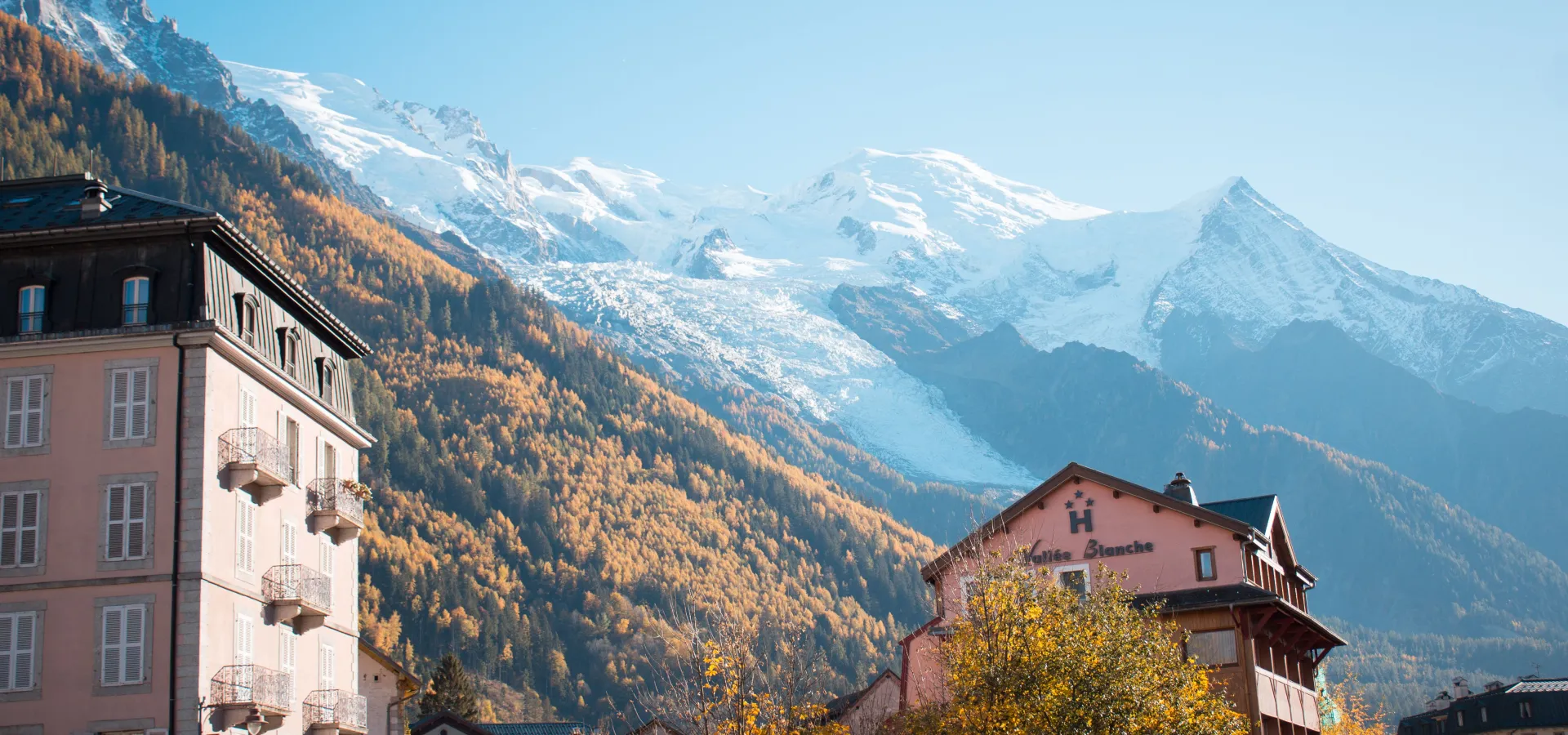
Identifying the Peaks from Chamonix
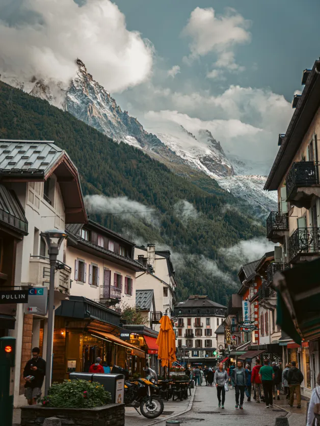
Exploring the Chamonix Landscape, Peak by Peak
In Chamonix, all you have to do is look up to realize where you are. The town sits at an elevation of 1,035 meters, at the bottom of a narrow valley, between two mountain ranges facing each other. On one side is the Mont Blanc massif and its glaciers. On the other is the Aiguilles Rouges.
But you still need to know how to identify each peak. Here’s how to interpret this landscape, peak by peak, and what each one reveals about the valley’s history.
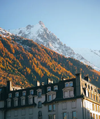
The Rise of Mountaineering in Chamonix
The Mont Blanc massif occupies the southeastern flank of the valley. It is home to glaciers, granite peaks, and the highest point in the Alps.
Across from it, on the northwest slope, the Aiguilles Rouges form a lower mountain range. The Brévent, its best-known peak, rises to 2,525 m and towers 1,500 m above Chamonix. It is from this slope that Mont Blanc is best seen, from a slight distance.
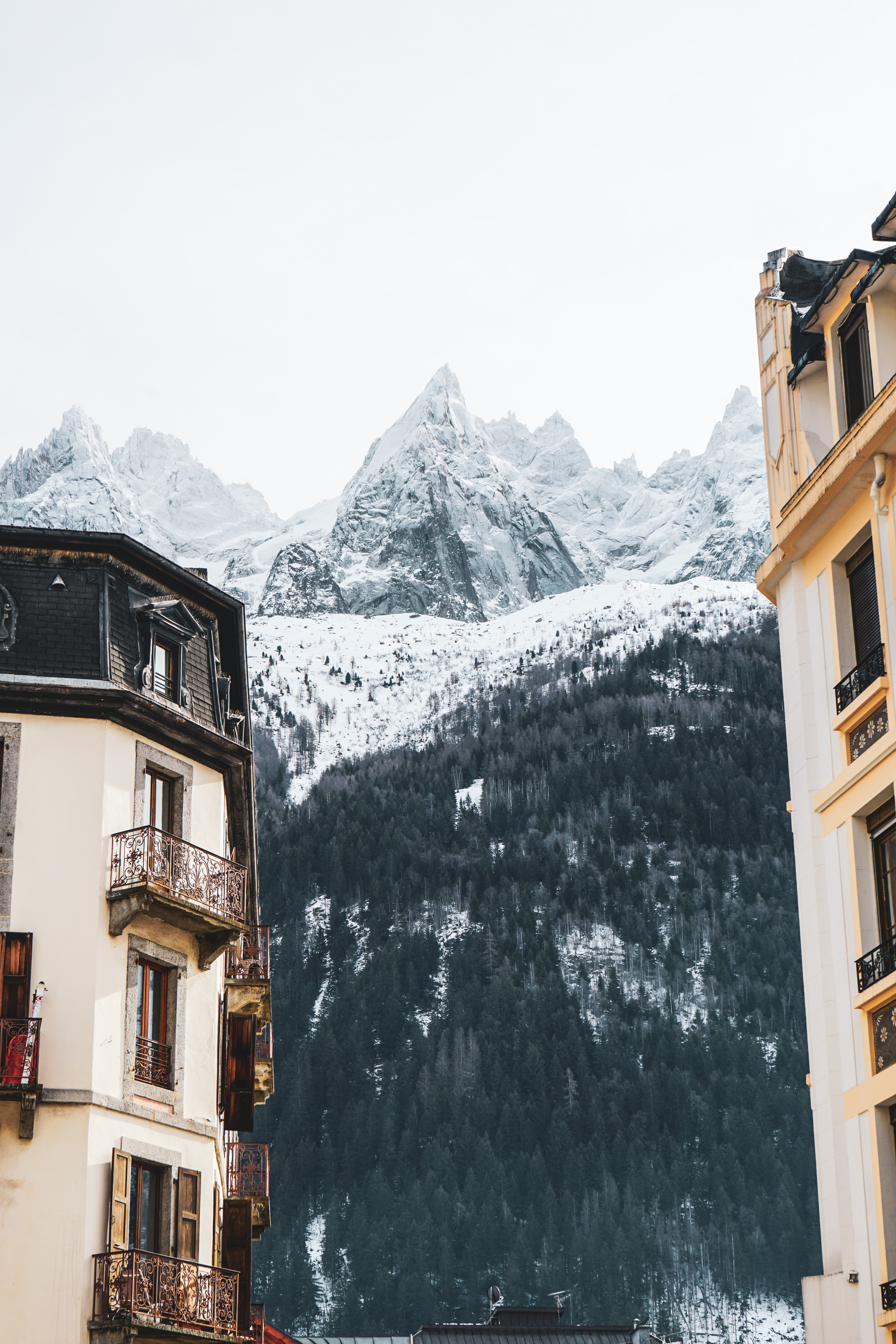

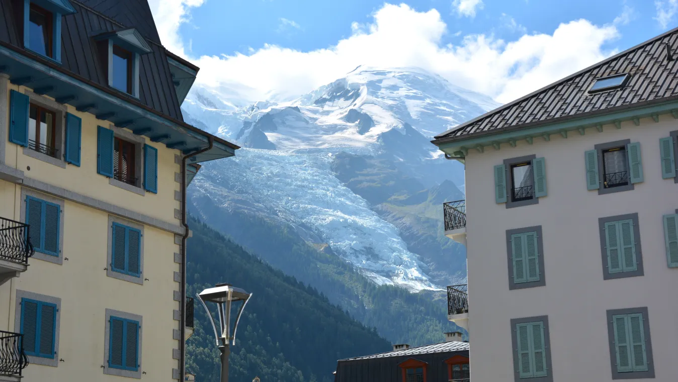
Mont Blanc is recognizable by its rounded, snow-capped dome, which is broader than it is pointed. Its summit is visible from Chamonix, but remains hidden from the town of Courmayeur on the Italian side.
Its elevation is changing. What we measure is the layer of snow and ice covering the rock. In September 2026, surveyors from Haute-Savoie measured it at 4,807.47 m, which is 1.88 m higher than in 2023 (4,805.59 m).
The name, however, came later. Around 1600, people were still referring to it as the “Cursed Mountain.” “Mont Blanc” appears in Pierre Martel’s sketches from 1742.
To its right, as seen from the valley, the Dôme du Goûter (4,304 m) and the Aiguille du Goûter (3,863 m) stand out. These are two stages of the standard ascent route, via the Goûter Refuge.
At the foot of Mont Blanc, a long ice flow extends almost to the houses: this is the Bossons Glacier. It originates at the summit, and its front currently lies at an elevation of around 1,400 meters.
This represents a vertical drop of more than 3,000 m in a single stretch, making it the largest Alpine glacier in Europe. In 1900, its front still extended down to 1,050 m.
The Aiguille du Midi is easy to spot: it's the rocky peak topped by a station and an antenna. Its name is said to come from its location, directly south of downtown Chamonix. As seen from the town, the sun passes over it around noon.
The current cable car was inaugurated in 1955. At the time, it was the highest in the world. It departs from Chamonix, at 1,035 m, and stops at Plan de l'Aiguille (2,310 m) just below the summit. Since December 2013, the “Pas dans le Vide”—a glass gondola—has placed visitors over a 1,000-meter drop.
Between the Aiguille du Midi and the Mer de Glace lies a jagged ridge: the Aiguilles de Chamonix. Each peak has its own name and its own mountaineering history, most of which was written in the late 19th century.
- Aiguille du Plan, 3,673 m: first ascent in July 1871 by James Eccles, with guides Alphonse and Michel Payot.
- Aiguille de Blaitière, 3,522 m: first ascent on August 6, 1874.
- Aiguille du Grépon, 3,482 m: first ascent on August 5, 1881, by Albert Frederick Mummery, with Alexander Burgener and Benedikt Venetz.
- Grands Charmoz, 3,445 m: first ascent on August 9, 1885.
These dates say a lot about that era. Mountaineers—often British—came to Chamonix in search of peaks th person d not yet climbed.
All you have to do is turn around to see a different landscape. The Aiguilles Rouges owe their name to the gneiss they’re made of: as the iron oxidizes, the rock takes on reddish hues.
The mountain range has been protected since 1974 by the Aiguilles Rouges Nature Reserve, which covers 3,279 hectares. It is home to Lac Blanc, located at an elevation of 2,352 meters.
The summit of Le Brévent (2,525 m) is accessible by gondola and then by cable car. The first cable car to the summit dates back to 1930. From there, you can see the Mont Blanc massif head-on, stretching out in its entirety.
Where to View the Peaks Around Chamonix
- From the city: Mont Blanc, the Dôme, and the Aiguille du Goûter; the Bossons Glacier; and the Aiguille du Midi.
- From Le Brévent and La Flégère: the entire Mont Blanc massif, as seen from the front.
- From the Plan de l'Aiguille: a close-up view of the Aiguilles de Chamonix, with the valley below.
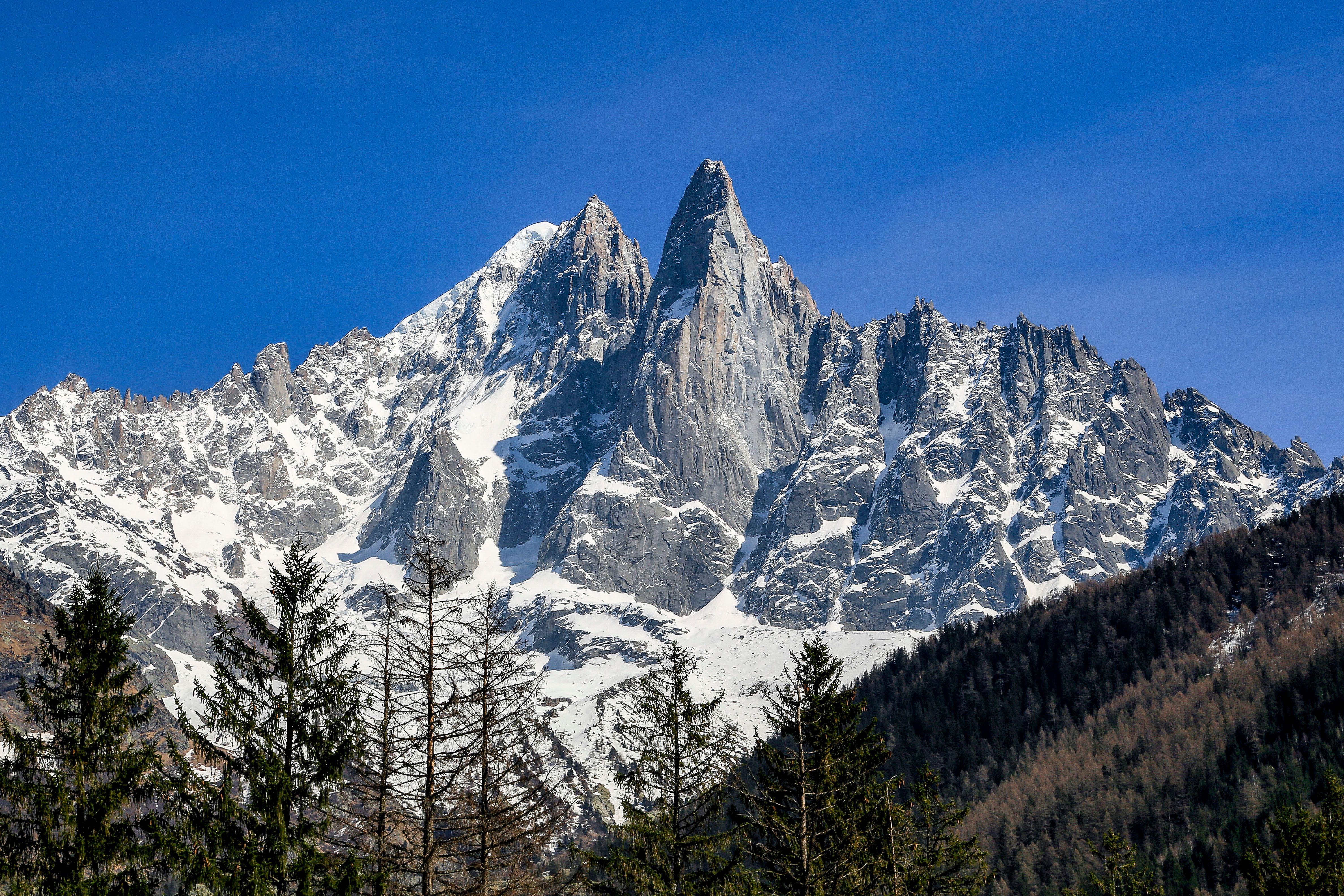
- From Montenvers (1,913 m), above the Mer de Glace: the Drus and, in the distance, the Grandes Jorasses (4,208 m).
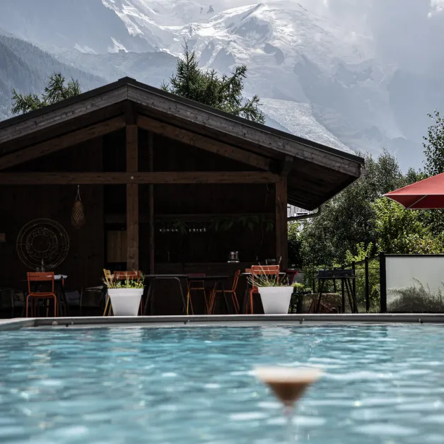
Mont Blanc as seen from our hotel, the Lizzie, in Chamonix
Our 4-star hotel, Le Lizzie, is housed in a Belle Époque building dating from the 1900s in Les Tines, just a short distance from the center of Chamonix. From the hotel, Mont Blanc remains in view, and some rooms offer a direct view of it.
It's another way to experience this landscape: watching it change throughout the day from your window, rather than catching a glimpse of it between activities.
This is Mont Blanc, the highest peak in the Alps. Its summit is visible from the town of Chamonix.
The most recent measurement, taken in September 2026, was 4,807.47 m. The elevation varies from one measurement to the next, as it depends on the snow and ice cap at the summit.
The most common explanation has to do with its location, facing due south from the center of Chamonix: as seen from the town, the sun passes directly overhead around noon.
You can see them from Montenvers, above the Mer de Glace, which is accessible by rack-and-pinion train from Chamonix.
Yes. You can see Mont Blanc from Lizzie, and most of the rooms have a view of it.